Lowell, MA canal water quality monitoring
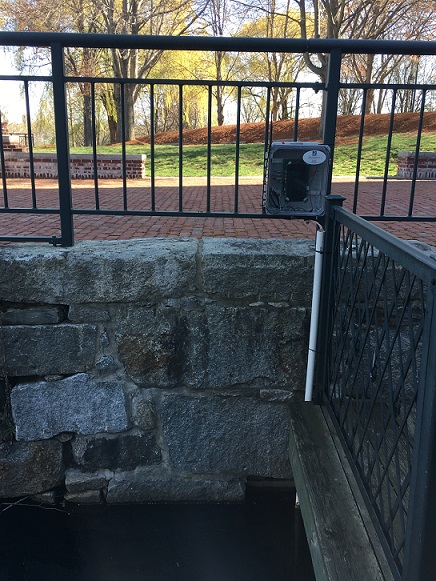
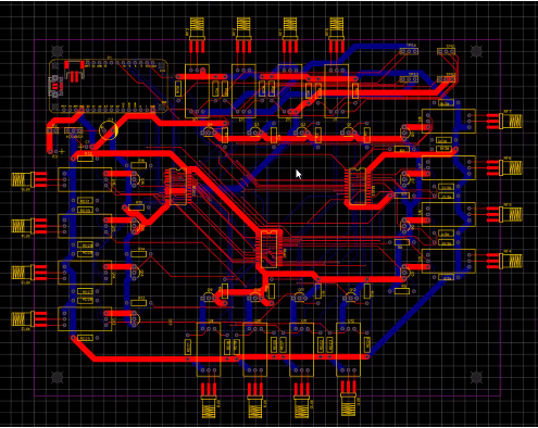
We are using the Lowell Canal System that runs through the University of Massachusetts Lowell campus to engage middle, high school, and college students in the hydrologic sciences and human-environment interactions. We developed a wireless water quality sensor network with Prof. Fred Martin in the Department of Computer Science and instrumented a canal on East Campus to monitor water quality parameters. Data is uploaded to the internet where live visualizations of canal water conditions are viewable in a classroom setting. Through a partnership with the Lowell Parks and Conservation Trust - Lowell Leaders in Stewardship program, after-school students will be able to visualize changes to the surface water through the seasons. If you may be interested in the web visualizations or water quality data for teaching, please contact Prof. James Heiss at james_heiss@uml.edu.
Campus tree inventory
We created and routinely update the UMass Lowell Campus Tree Inventory. Students in Prof. Heiss's GIS in Earth and Environmental Sciences course built the tree inventory over the the years using ESRI's mobile GIS data collection apps. To date, students have inventoried the location, height, and trunk diameter of several hundred trees on the university campus and created a web map to showcase the inventory to the public. In the web app, feel free to click on a point feature to view a tree's attributes. The Tree Inventory Project is in collaboration with UMass Lowell Facilities and the Office of Sustainability.
Outdoor learning for middle school students
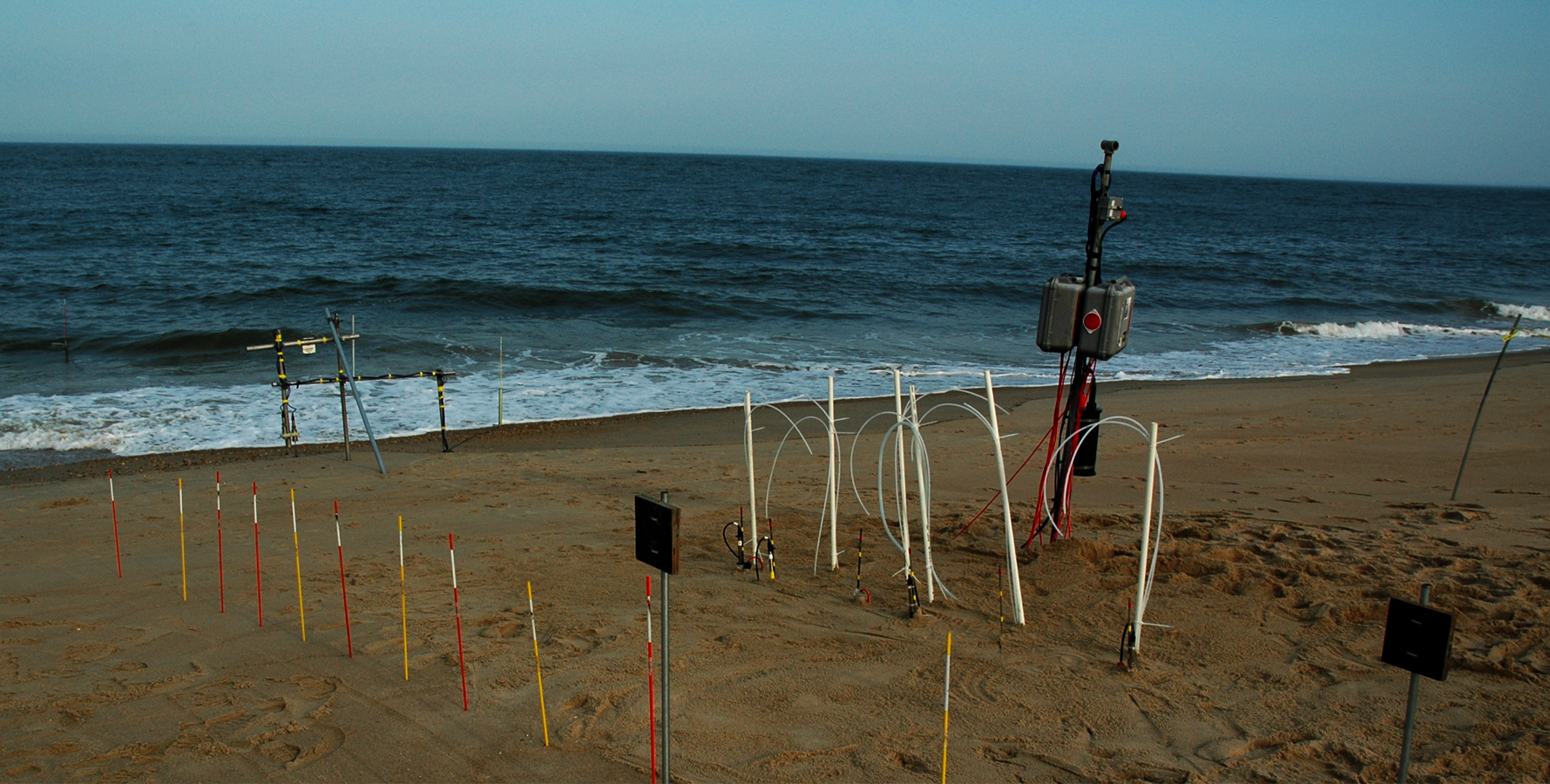
We installed a well transect in the intertidal zone the Joppa Flats Education Center in coastal Massachusetts in partnership with Massachusetts Audubon. Joppa Flats Education Center staff are using the outdoor lab to teach middle school students about saltwater intrusion, tidal and storm surge flooding, and how to measure water levels and water quality in groundwater wells.